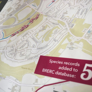
We recently produced a 16-page report for South Gloucestershire Council. They wanted to present and publish some of the data collected during AFL’s 3-year project to survey the wildlife of the Lower Severn Vale Levels. Six maps were created at various scales showing the locations of such things as water vole evidence, orchards and high-tide roost counts. We designed the report and also created all the cartography which needed to be in-keeping with the look of their existing walking maps packs - which we also designed.
top of page
bottom of page


Comments